
Digital Survey Equipment Online Store in Bangladesh
What do we mean by digital survey?
- Digital Survey means the technique and science of determining the terrestrial, i.e., the three-dimensional position of points and the distances and angles between them, using digital/electronic means.
Why do a digital survey?
- The job of a digital survey is to identify both its natural and man-made features through a digital survey of a particular land or land and to accurately outline where the boundaries of your property start and end.
If you plan to build on your land or build buildings, factories or houses to live in, a digital site survey is one of the main ways to ensure that you do not violate any government laws before construction begins.
What is the digital topographic survey done in Bangladesh?
- Digital topography is a digital topographic survey conducted in Bangladesh to create an accurate and accurate map presenting geometric representations of spatial forms mapped according to the corresponding geodetic and cartographic standards. The recent expansion of geographic information systems (GIS) and their tools through this survey has enabled geologists to visualize the Earth’s surface in three dimensions using digital topography.
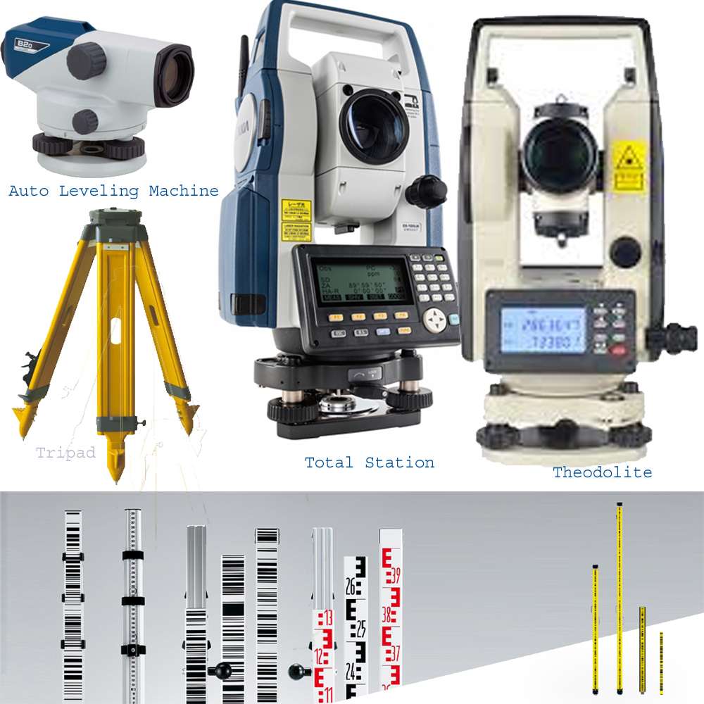
What is the Rahim Trading Corporation -RTC For Surveying??
- The Rahim Trading Corporation -RTC is the best importer and best supplier in Bangladesh for Surveying laboratory equipment. We import More and More Surveying equipment from Japan, Turkey, Germany, India and China. Our Manufacturing Surveying product is very purulent and best use in Bangladesh.
- Our Mainly Surveying Equipment Auto Leveling Machine, Digital & Analogue Caliper, Digital Distance meter, theodolite, Total Station, Plan Table